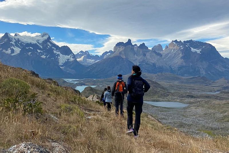
Torres del Paine
Patagonia, Chile
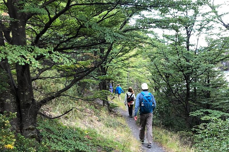
Bosque
Pingo Chorrillo
-

- Hike
-
- Moderate
-
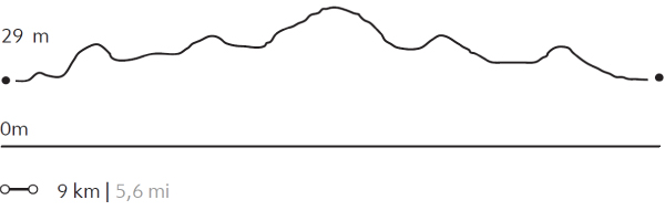
- 9 km / 5.6 mi
- Half-day
- 3 h 30 m


Exploration Path
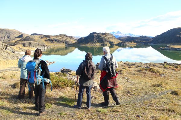
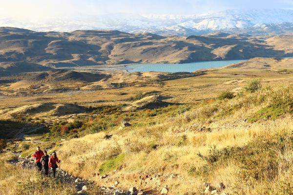
We travel by van to Grey Lake. From there, we walk along a path along the Pingo River through a forest of native trees. During this exploration, we can enjoy different views of the Paine massif and bird watching. The return is by the same path.
Forests disavow man made borders. Instead, drawing their own horizons – crossing mountains, skipping lakes and covering entire territories with patient vertical contemplation.
Elevation Profile
- Elevation Gain
-
235 m 771 ft
- Elevation Loss
-
-235 m -771 ft
- Max. Altitude
-
105 m 344 ft
- Min. Altitude
-
56 m 184 ft
Discover Our Explorations
Endless revelations and possibilities await