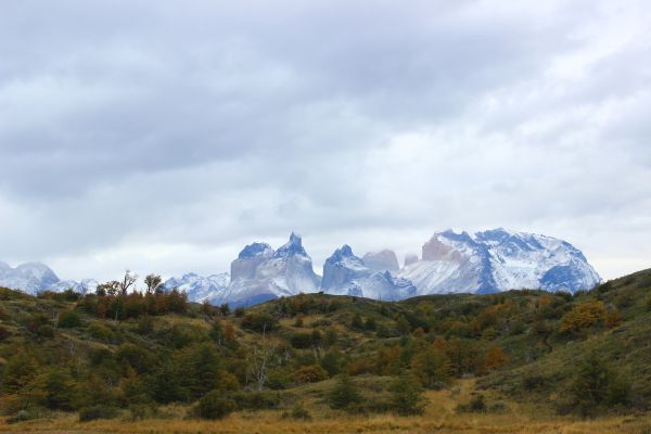
Torres del Paine
Patagonia, Chile
Montañas
CERRO TENERIFE
-

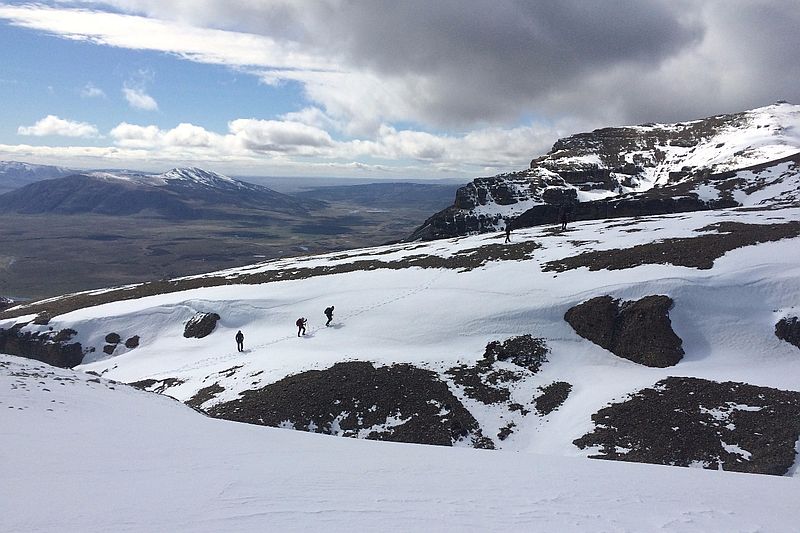
- High Mountain Ascent
-
- Expert
-
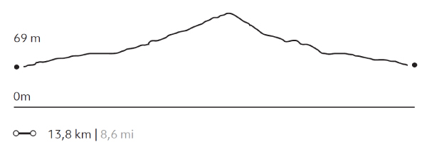
- 13,8 km / 8.6 mi
- Full-day
- 9 h


Exploration Path
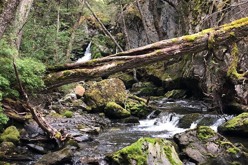
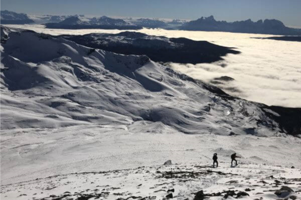
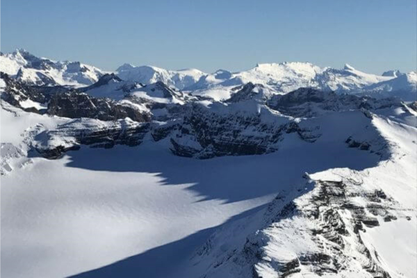
We travel by van to the base of the Tenerife Hill. We begin our ascent through a forest of ñirres, lengas and coigües, continue among humid scrub vegetation and finally through a high desert area. This is a remarkable exploration for the panoramic views it offers: to the Southern Ice Fields and the Chacabuco mountain range, among others.
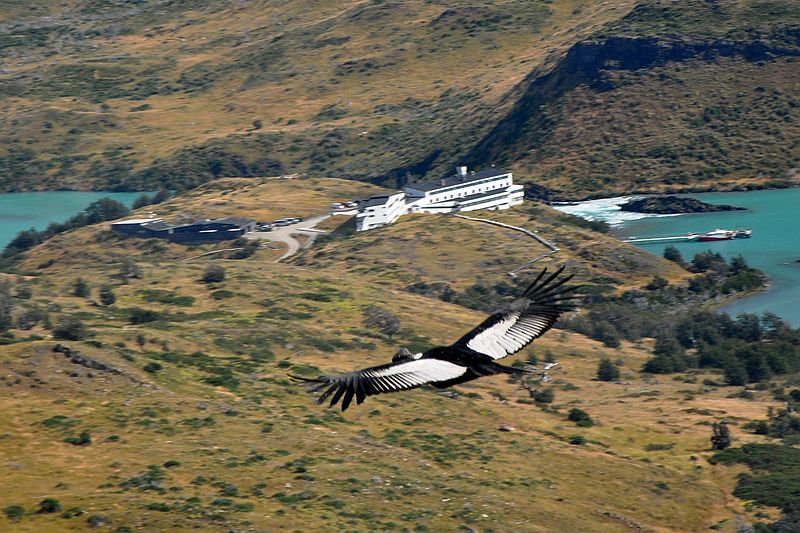
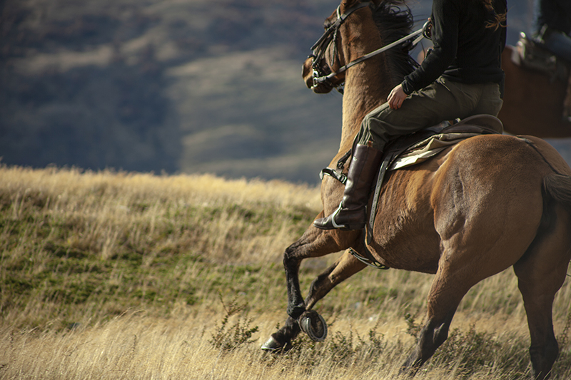
Mountains define local identity: a natural wall which only condors disregard, a presence which points to the stars above as the only vanishing point in the Patagonian landscape.
Elevation Profile
- Elevation Gain
-
1582 m 5190 ft
- Elevation Loss
-
-1582 m -5190 ft
- Max. Altitude
-
1.564 m 5.131 ft
- Min. Altitude
-
67 m 220 ft
Discover Our Explorations
Endless revelations and possibilities await