Torres del Paine
Patagonia, Chile
Encuentro
LAGO PEHOÉ
-
- Self Guided
-
- Easy
-
- 3,9 km / 2.4 mi
- Half-day
- 2 h
Exploration Path
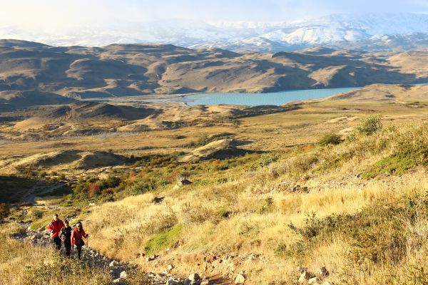
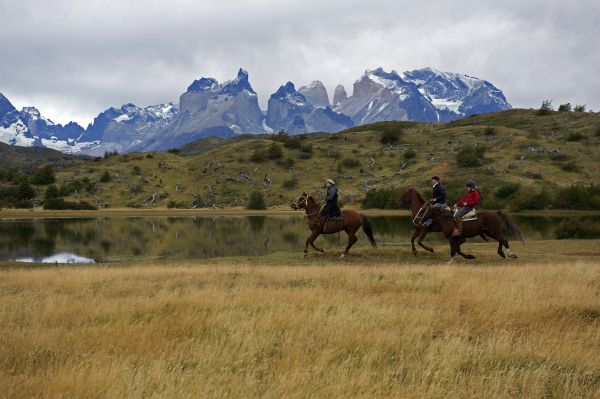
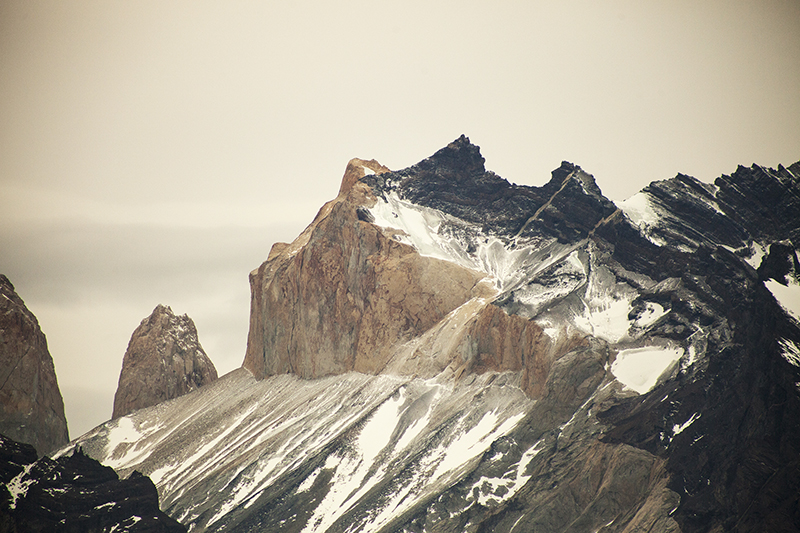
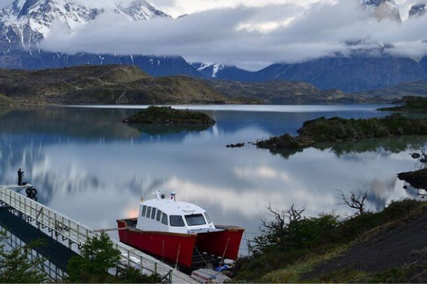
This walk amongst orchids and ñirres offers incredible views of Pehoé Lake, the Paine mountain range and the Paine River in the distance. Exit the main road following the shore of Pehoé Lake and ascend to the triangular rock marked on the map.
The intersection, the estuary, the frontier. Sometimes the collision of two worlds is a world in itself.
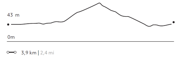
Elevation Profile
- Elevation Gain
-
182 m 597 ft
- Elevation Loss
-
-181 m -594 ft
- Max. Altitude
-
176 m 577 ft
- Min. Altitude
-
28 m 92 ft
Discover Our Explorations
Endless revelations and possibilities await
