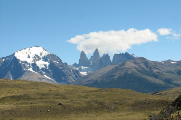
Torres del Paine
Patagonia, Chile
Explorations in
Torres del Paine
Activity
Difficulty
Areas
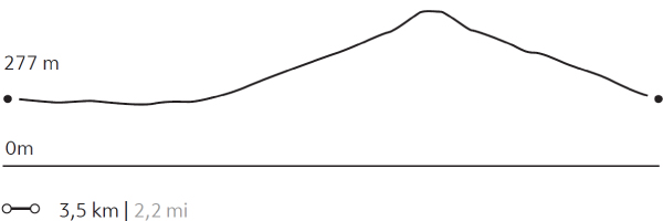
VALLE DEL RÍO PINGO
Bosque
-
 Hike
Hike -
Advanced
-
Full-day
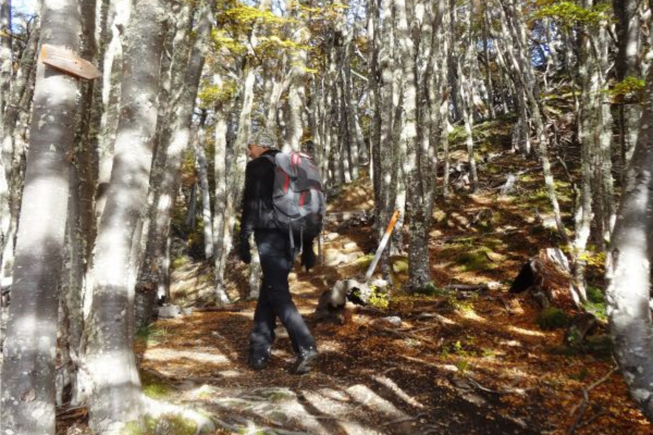
We travel by van to the Grey Lake refuge where we start walking along the Pingo River. We cross the river to reach forests...
More details >VALLE DEL RÍO PINGO


-
Exploration Path
We travel by van to the Grey Lake refuge where we start walking along the Pingo River. We cross the river to reach forests through which the Paine Grande can be seen. We return on the same road to the refuge to get on the van and return to Explora.
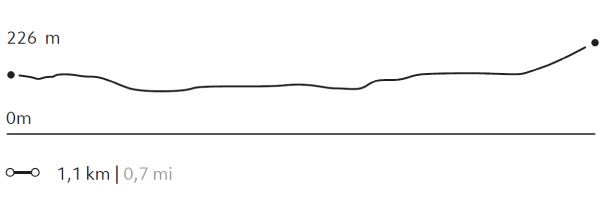
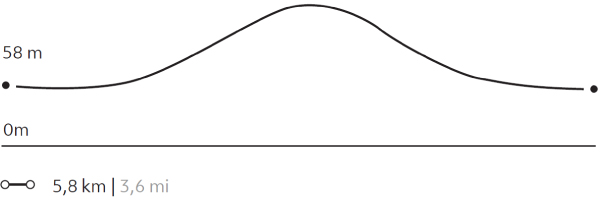
745 m 2444 ft
-745 m -2444 ft
313 m 1.027 ft
57 m 187 ftElevation Profile
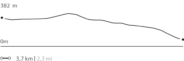
CAÑADÓN MACHO
Bosque

-
Horseback Ride
-
Easy
-
Half-day
We ride from our quincho to an extensive forest of beech trees. Leaving the forest, we have panoramic views of the Las Chinas River...
More details >CAÑADÓN MACHO


-
Exploration Path
We ride from our quincho to an extensive forest of beech trees. Leaving the forest, we have panoramic views of the Las Chinas River and the waterfall located in the river gorge. We continue riding on a more open road until we arrive back at the quincho.
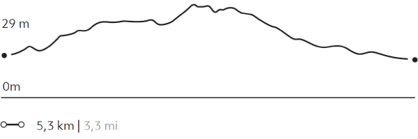
194 m 636 ft
-194 m -636 ft
408 m 1.339 ft
251 m 823 ftElevation Profile
LAGUNA AZUL
Bosque
-
Hike
-
Easy
-
Half-day
We start at our quincho where we take a van to the Azul Lagoon. From there we walk around a wetland...
More details >LAGUNA AZUL
-
Exploration Path
We start at our quincho where we take a van to the Azul Lagoon. From there we walk around a wetland inhabited by multiple birds and cross the beach of the lagoon watching the Torres del Paine peek above the horizon. Finally, we arrive at a viewpoint and return by van.
22 m 72 ft
-16 m -52 ft
234 m 768 ft
223 m 732 ftElevation Profile
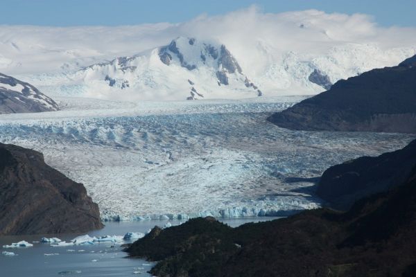
LAGO GREY
Bosque
-
Hike
-
Easy
-
Half-day
We travel by van to Grey Lake. We start our walk crossing the suspension bridge over the Pingo River and continue through a forest...
More details >LAGO GREY
-
Exploration Path
We travel by van to Grey Lake. We start our walk crossing the suspension bridge over the Pingo River and continue through a forest until we reach the lake shore. Once there we walk along the beach to see the glacier and the icebergs that come off it. We return by van.
126 m 413 ft
-126 m -413 ft
82 m 269 ft
45 m 148 ftElevation Profile
MIRADOR MASLE
Bosque
-
Hike
-
Easy
-
Half-day
We start by hiking around the Laguna Azul where guanacos and different species of birds commonly meander. Then we ascend...
More details >MIRADOR MASLE
-
Exploration Path
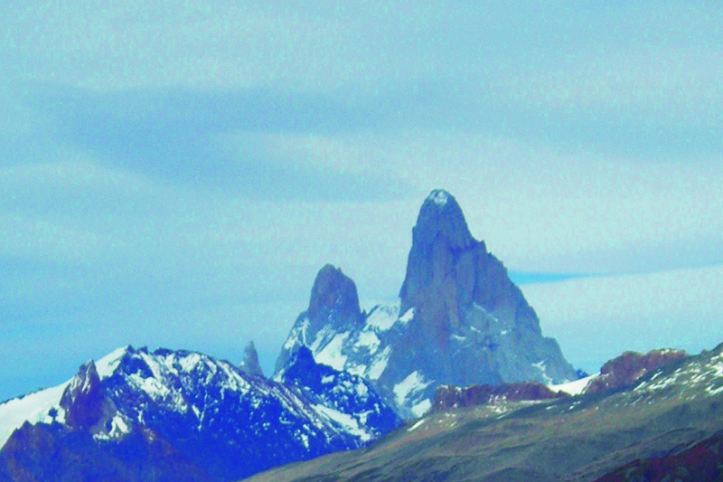
We start by hiking around the Laguna Azul where guanacos and different species of birds commonly meander. Then we ascend by a path through which we arrive at an overlook with views of the Paine massif. Descending, a van waits for us to return to the lodge.
164 m 538 ft
-164 m -538 ft
375 m 1.230 ft
233 m 764 ftElevation Profile
LA LOMA
Bosque
-
Hike
-
Moderate
-
Half-day
From a steppe area, we walk to a small hill overlooking the Torres del Paine. Then we cross native forests, observing the rich wild life...
More details >LA LOMA

-
Exploration Path
From a steppe area, we walk to a small hill overlooking the Torres del Paine. Then we cross native forests, observing the rich wild life of the park. At the end of our excursion, we make a descent through open terrain, allowing us to feel the Patagonian wind. We return to lodge by van.
58 m 190 ft
-234 m -768 ft
430 m 1.411 ft
205 m 673 ftElevation Profile
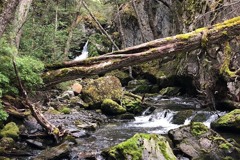
Pingo Chorrillo
Bosque
-
Hike
-
Moderate
-
Half-day
We travel by van to Grey Lake. From there, we walk along a path along the Pingo River through a forest of native trees...
More details >Pingo Chorrillo
-
Exploration Path
We travel by van to Grey Lake. From there, we walk along a path along the Pingo River through a forest of native trees. During this exploration, we can enjoy different views of the Paine massif and bird watching. The return is by the same path.
235 m 771 ft
-235 m -771 ft
105 m 344 ft
56 m 184 ftElevation Profile
FERRIER
Bosque
-
Hike
-
Expert
-
Half-day
We travel by van to the Grey Lake where we begin a demanding ascent during which we get views of the Lake...
More details >FERRIER

-
Exploration Path
We travel by van to the Grey Lake where we begin a demanding ascent during which we get views of the Lake and the huge ice mass of the South Ice Fields. We cross a forest and continue to the top with panoramic views of the Grey and Pehoé lakes. We descend and return by van.
612 m 2008 ft
-612 m -2008 ft
642 m 2.106 ft
56 m 184 ftElevation Profile
-
Other options: