Sacred Valley
Machu Picchu & Sacred Valley, Peru
Suni
Huayna Kolka
-
- Bike
-
- Moderate
-
- 18,2 km / 11.3 mi
- Half-day
- 3 h 15 m
Exploration Path
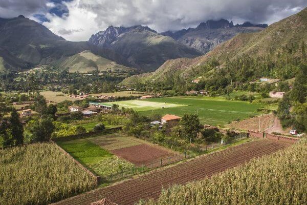
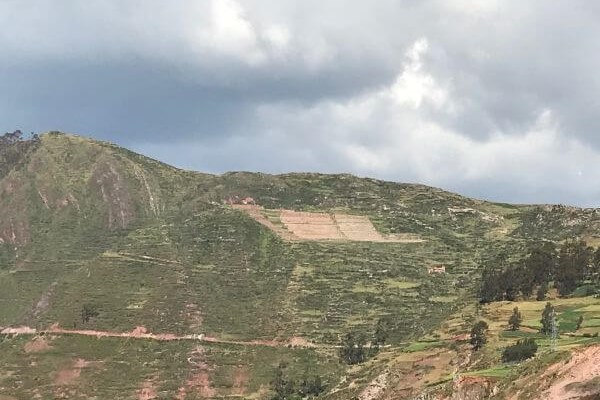
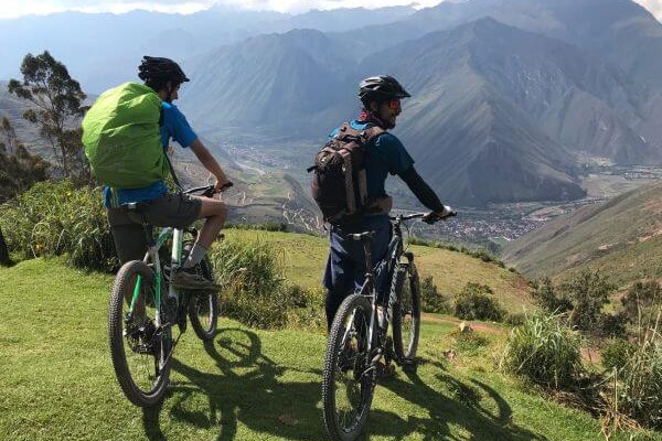
After visiting the archaeological site of Machu Kolka, we get on our bikes and begin a descent among trees and adobe houses towards the town of Racchi. There, we pedal in ascent towards the viewpoint of Huayna Kolka to contemplate the valley. We descend by a winding dirt road to Huayllabamba. At this point, we skirt around different crop fields until we reach explora.
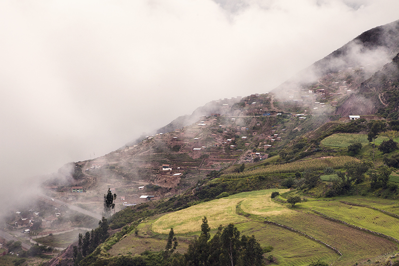
This zone showcases the valley’s verticality – a pivotal component around which the Incas developed their particular cosmovision.
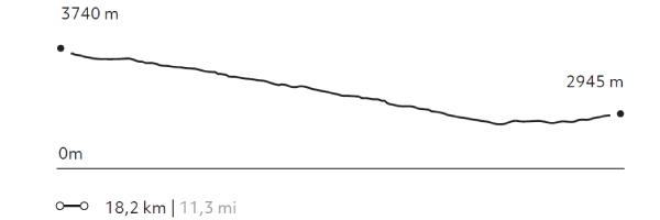
Elevation Profile
- Elevation Gain
-
403 m 1.322 ft
- Elevation Loss
-
-1.198 m -3.930 ft
- Max. Altitude
-
3.740 m 12.270 ft
- Min. Altitude
-
2.867 m 9.406 ft
Discover Our Explorations
Endless revelations and possibilities await
