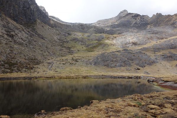
Sacred Valley
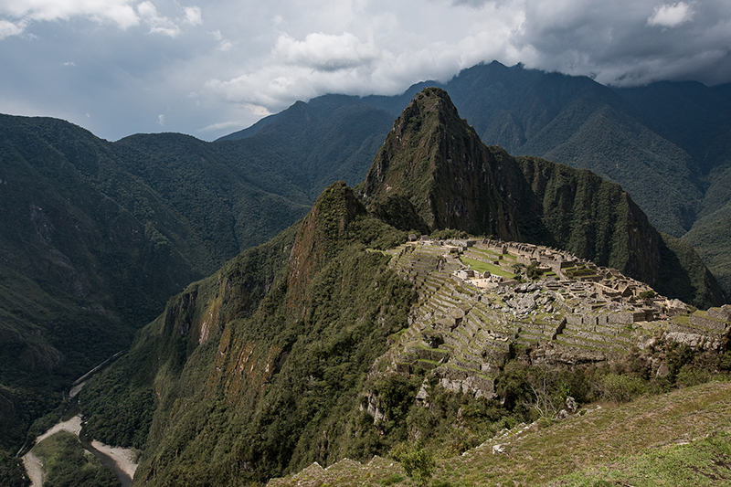
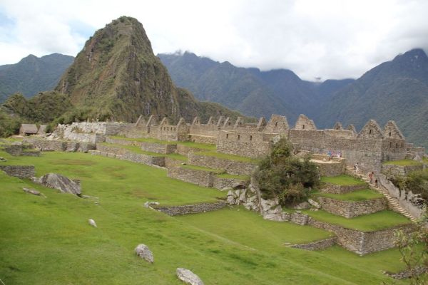
Machu Picchu & Sacred Valley, Peru
Quechua
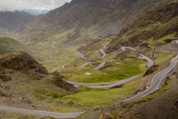
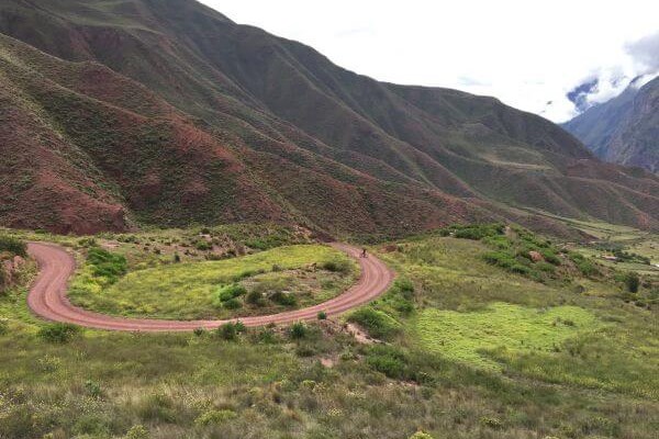
Cuesta del Sapo
-

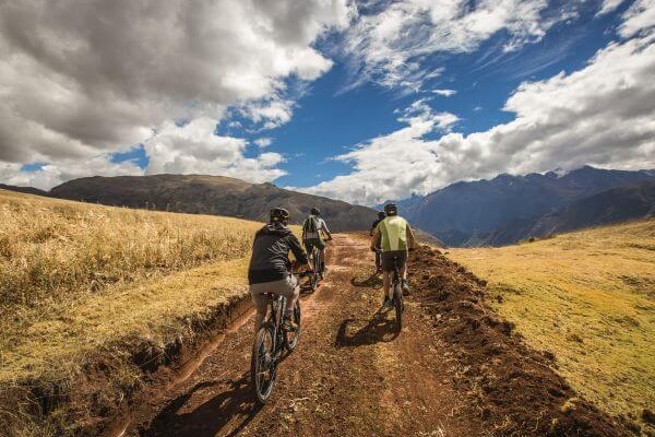
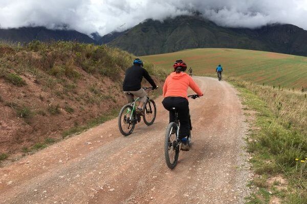
- Bike
-
- Moderate
-
- 19,3 km / 12 mi
- Half-day
- 2 h


Exploration Path
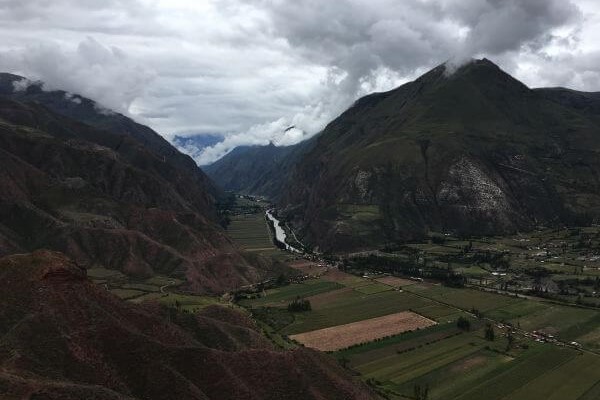
From the heights of the Sacred Valley’s slopes we descend over a track in good conditions. The road offers very interesting views to the mountains and the Urubamba river. Once downhill, we will continue bordering the river through an area of cornfields and orchards and densely packed Inca terraces.
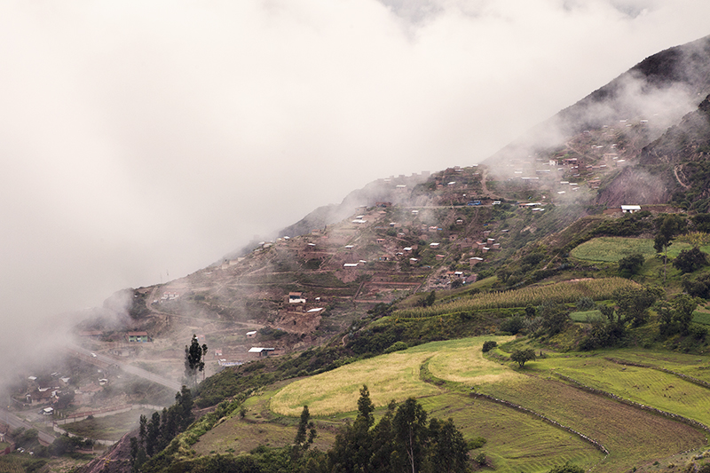
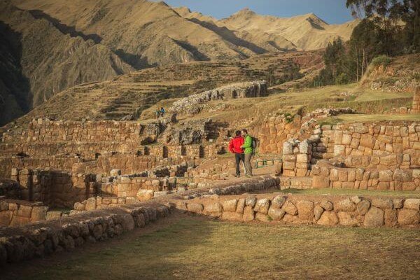
Following the winding course of the Urubamba River, this area showcases Inca architecture at its best, enclosing some of Peru’s most important archaeological landmarks, from Pisac to Macchu Picchu.
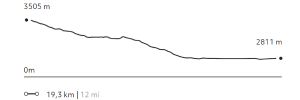
Elevation Profile
- Elevation Gain
-
163 m 535 ft
- Elevation Loss
-
-858 m -2.815 ft
- Max. Altitude
-
3.505 m 11.499 ft
- Min. Altitude
-
2.811 m 9.222 ft
Discover Our Explorations
Endless revelations and possibilities await