Torres del Paine
Patagonia, Chile
Montañas
Cerro Castillo
-
- High Mountain Ascent
-
- Expert
-
- 15,8 km / 9.8 mi
- Full-day
- 9 h
Exploration Path
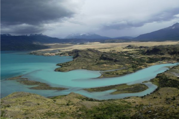
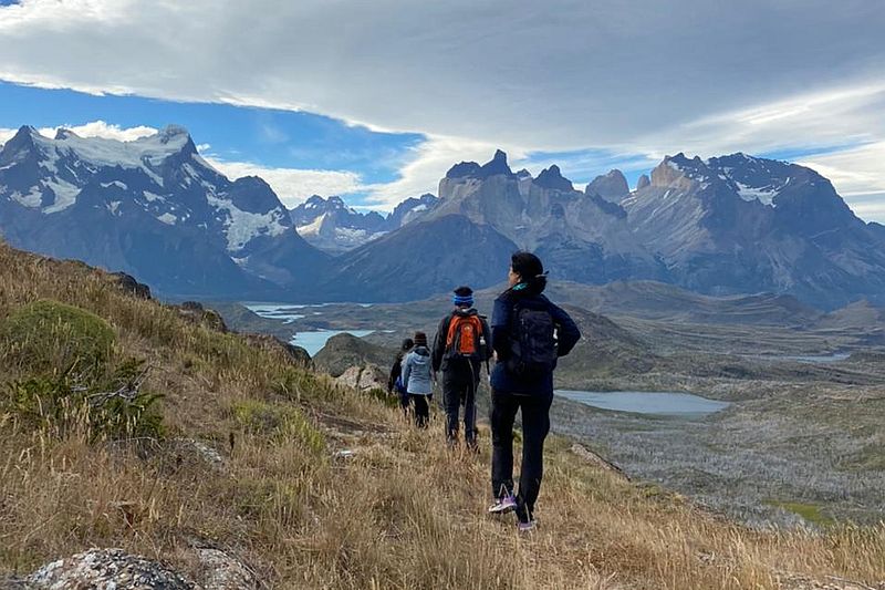
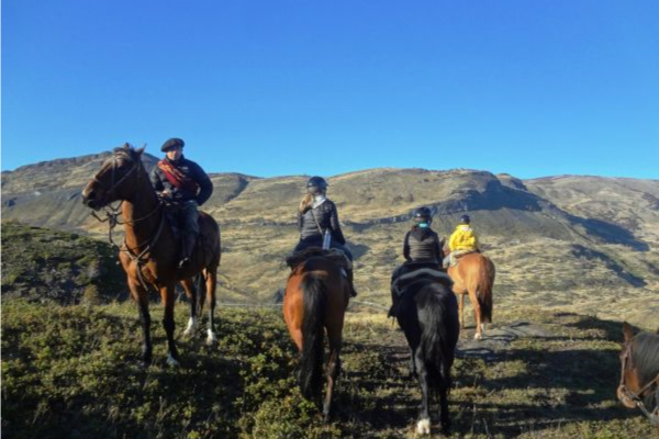
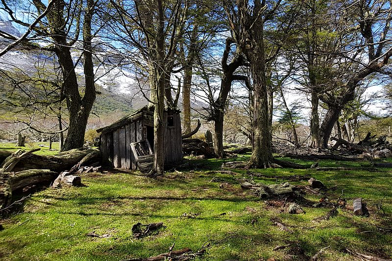
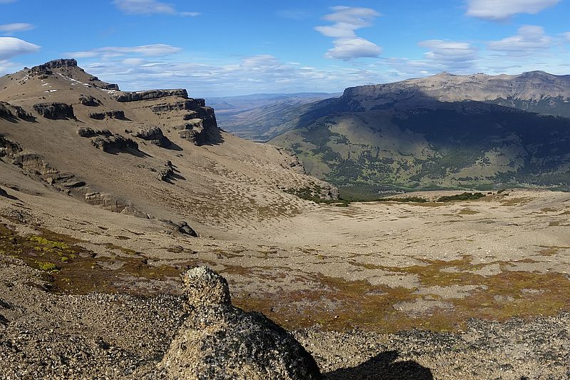
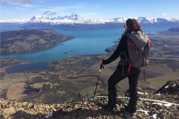
We travel by van to El Bote Bay, a sector located outside the park. We start our walk in a cattle area and go up the slope of Castillo Hill until we reach the summit. From there, we have a 360 ° view of the park and its surroundings. We see hills, glaciers, pampas, lakes and mountains. We descend through a forested area to the van.
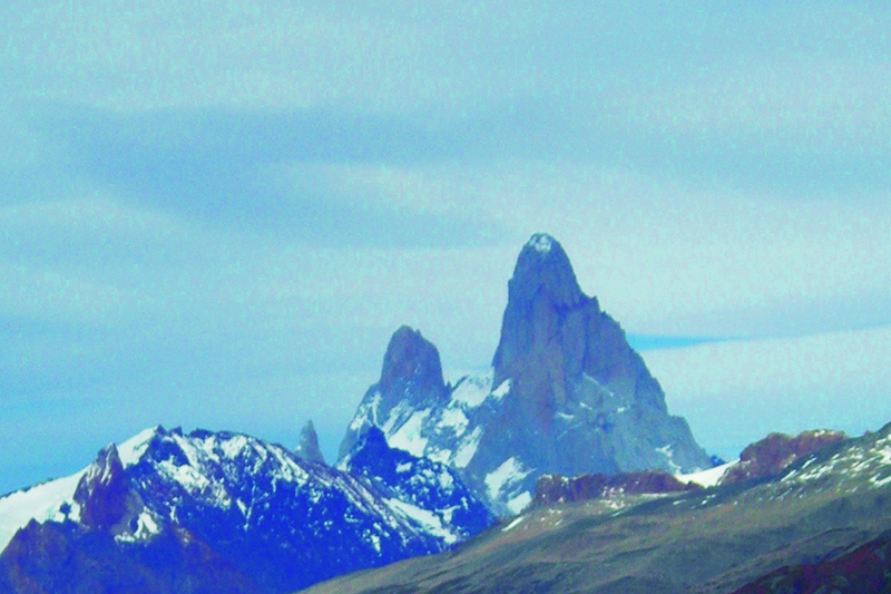
Mountains define local identity: a natural wall which only condors disregard, a presence which points to the stars above as the only vanishing point in the Patagonian landscape.
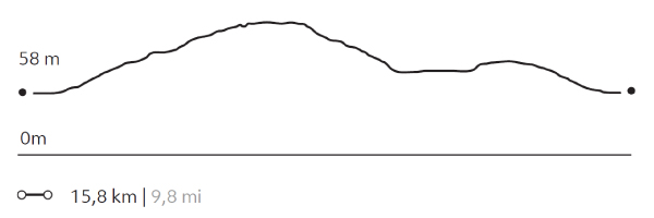
Elevation Profile
- Elevation Gain
-
1170 m 3839 ft
- Elevation Loss
-
-1170 m -3839 ft
- Max. Altitude
-
983 m 3.225 ft
- Min. Altitude
-
57 m 187 ft
Discover Our Explorations
Endless revelations and possibilities await
