Easter Island
Easter Island, Chile
Explorations in
Easter Island
Activity
Difficulty
Areas
Mahatua
Miru
-
 Hike
Hike -
Moderate
-
Half-day
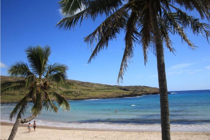
Hike along the coast. We pass fishing coves, archaeological sites and Ovahe beach until we get to Anakena.
More details >Mahatua


-
Exploration Path
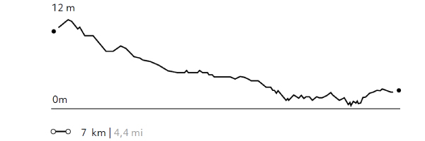
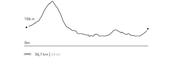
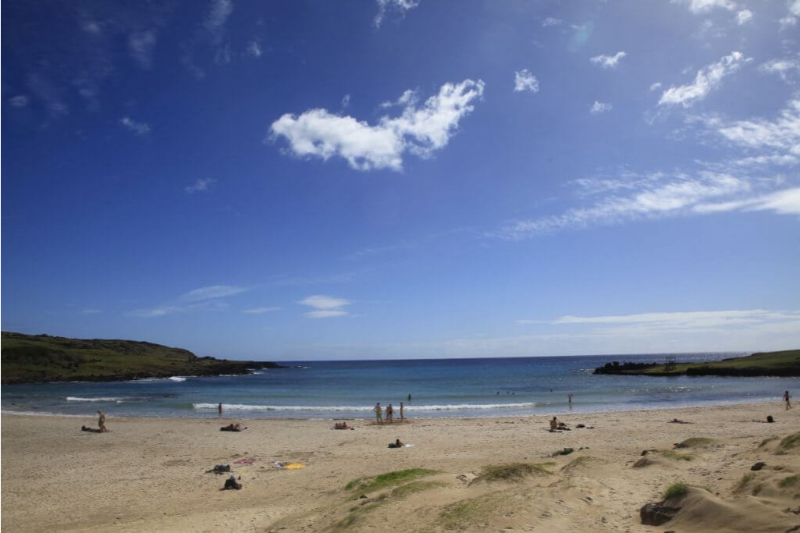
Hike along the coast. We pass fishing coves, archaeological sites and Ovahe beach until we get to Anakena where we can visit the archaeological remains of the Rapa Nui kings who lived there. It’s time to enjoy the beach. Bring your swimsuit.
117 m 384 ft
-120 m -394 ft
31 m 102 ft
5 m 16 ftElevation Profile
The Miru
Miru
-
Hike
-
Advanced
-
Full-day
We follow a trail along cliffs in the north area, crossing plains and ancient villages that belonged to the Miru...
More details >The Miru

-
Exploration Path
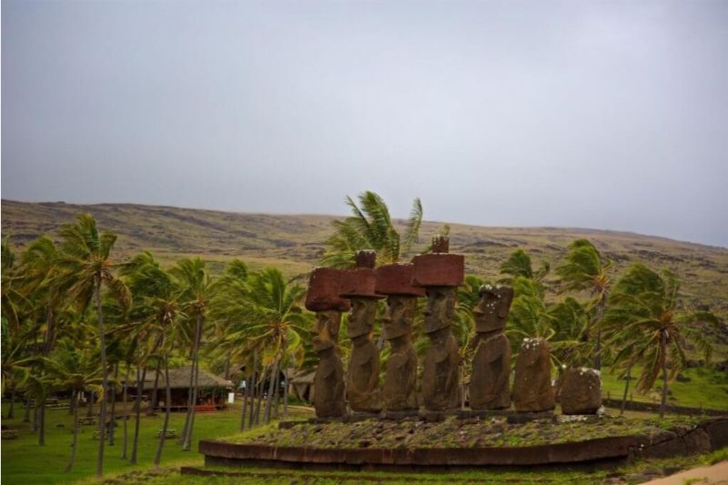
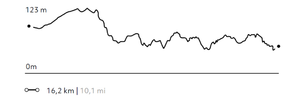
We follow a trail along cliffs in the north area, crossing plains and ancient villages that belonged to the Miru, which used to be the most powerful tribe in Rapa Nui. We continue hiking up to Anakena, this tribe’s capital city, where we get some time to enjoy the beach. Bring your swimsuit.
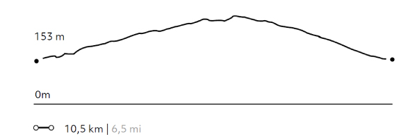
439 m 1440 ft
-539 m -1768 ft
199 m 653 ft
8 m 26 ftElevation Profile
The highest point
Miru
-
Hike
-
Moderate
-
Half-day
We begin our hike at the foothill of the Terevaka Volcano, going up a narrow creek and passing between archaeological vestiges...
More details >The highest point
-
Exploration Path
We begin our hike at the foothill of the Terevaka Volcano, going up a narrow creek and passing between archaeological vestiges until we reach the volcano’s summit, the highest point in the Island with 360° views to the horizon. When descending, we hike towards Ahu Akivi, the 7 moai facing the sea.
375 m 1230 ft
-389 m -1276 ft
500 m 1640 ft
138 m 453 ftElevation Profile
Anakena
Miru
-
Bike
-
Moderate
-
Half-day
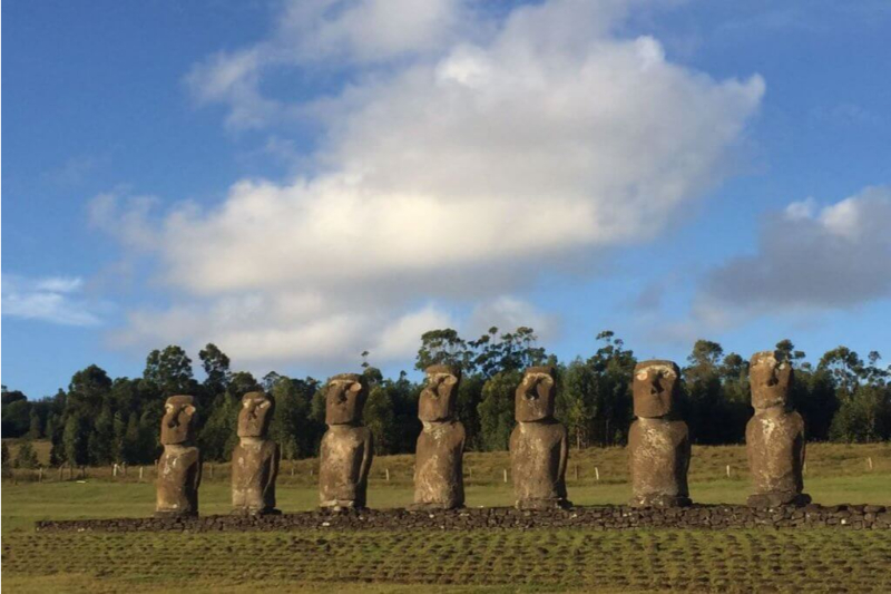
We ride from the hotel towards Ahu Tongariki, the best rebuilt platform with 15 intact moai...
More details >Anakena

-
Exploration Path
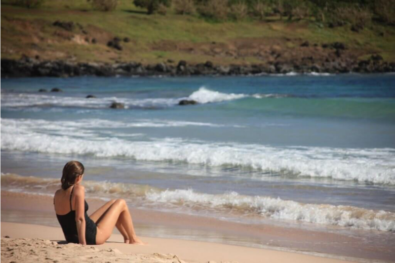
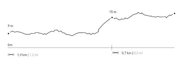
We ride from the hotel towards Ahu Tongariki, the best rebuilt platform with 15 intact moai. We continue along the coastline to the Mahatua area, visiting several archaeological sites up to Anakena, with its ruins, crystal-clear waters and white sands. We return to explora by van. Bring your swimsuit.
199 m 653 ft
-297 m -974 ft
110 m 361 ft
1 m 3 ftElevation Profile

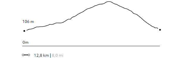
Navigators Mountain
Miru
-
Bike
-
Advanced
-
Half-day
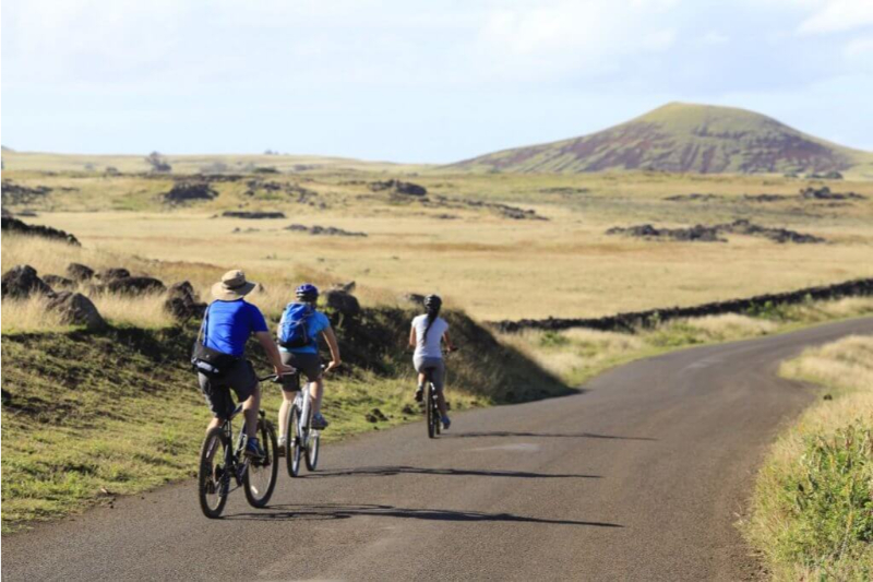
We leave Explora and ride uphill along the Terevaka Volcano, a point of orientation for navigators...
More details >Navigators Mountain
-
Exploration Path
We leave Explora and ride uphill along the Terevaka Volcano, a point of orientation for navigators. With a 360° view, we can see the remoteness of this destination. We then ride up to Ahu Akivi, the platform with seven moai facing the ocean. We return by van.
406 m 1332 ft
-374 m -1227 ft
500 m 1640 ft
106 m 348 ftElevation Profile
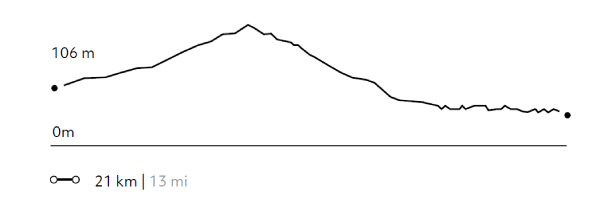
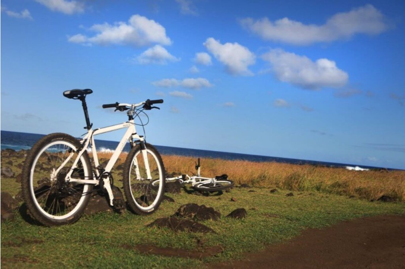
Terevaka
Miru
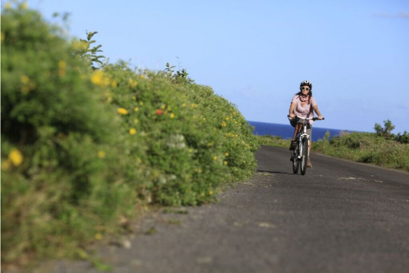
-
Bike
-
Advanced
-
Half-day
We leave Explora and ride up to the Terevaka Volcano. In the summit, we enjoy a privileged view of the Island...
More details >Terevaka
-
Exploration Path
We leave Explora and ride up to the Terevaka Volcano. In the summit, we enjoy a privileged view of the Island. We ride down to Ahu Akivi and then head to the Ahu Tepeu archaeological site. Finally we ride to Tahai, the location of the only moai with coral eyes. We return to Explora by van.
481 m 1578 ft
-580 m -1903 ft
500 m 1640 ft
7 m 23 ftElevation Profile
The Hills
Miru
-
Bike
-
Expert
-
Full-day
In this exploration we’ll see the contrasting landscapes of Easter Island. We first ride up to the Terevaka...
More details >The Hills

-
Exploration Path
In this exploration we’ll see the contrasting landscapes of Easter Island. We first ride up to the Terevaka, enjoy the view and then ride down to Ahu Akivi. Then, we head to Ahu Tepeu, a site with different archaeological remains. We continue to Hanga Roa and ride along the south coastline enjoying a view to the ocean. We return by bike.
772 m 2533 ft
-770 m -2526 ft
500 m 1640 ft
6 m 20 ftElevation Profile
Hanga
Miru
-
Overland
-
Easy
-
Half-day
We take a van to Papa Vaka, an archaeological site with petroglyphs. We hike and go by a cove and continue hiking up to Tepito Kura...
More details >Hanga


-
Exploration Path
We take a van to Papa Vaka, an archaeological site with petroglyphs. We hike (1) and go by a cove and continue hiking up to Tepito Kura, a site featuring a huge tumbled moai and a magnetic stone associated to Rapa Nui’s origins. We continue by van to Anakena, the landing area of the first Polynesian settlers (2). Time to enjoy the beach. Bring your swimsuit.
34 m 112 ft
-17 m -55 ft
26 m 85 ft
4 m 13 ftElevation Profile
-
Other options: