Easter Island
Easter Island, Chile
Miru
Hanga
-

- Overland
-
- Easy
-
- 1,9 km / 1.2 mi
- Half-day
- 3 h 30 m


Exploration Path
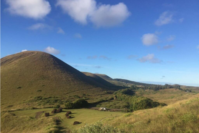
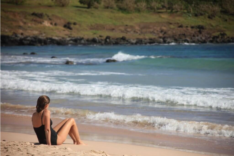
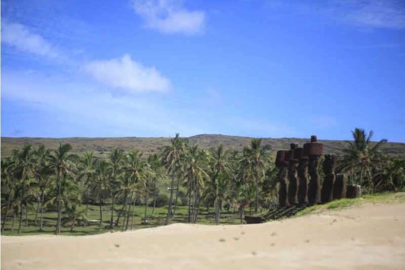
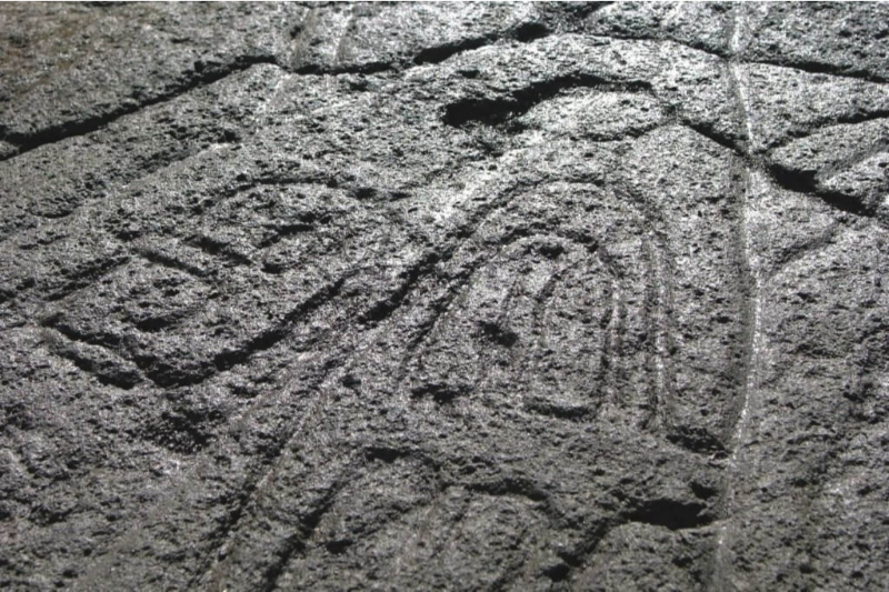
We take a van to Papa Vaka, an archaeological site with petroglyphs. We hike (1) and go by a cove and continue hiking up to Tepito Kura, a site featuring a huge tumbled moai and a magnetic stone associated to Rapa Nui’s origins. We continue by van to Anakena, the landing area of the first Polynesian settlers (2). Time to enjoy the beach. Bring your swimsuit.
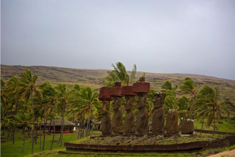
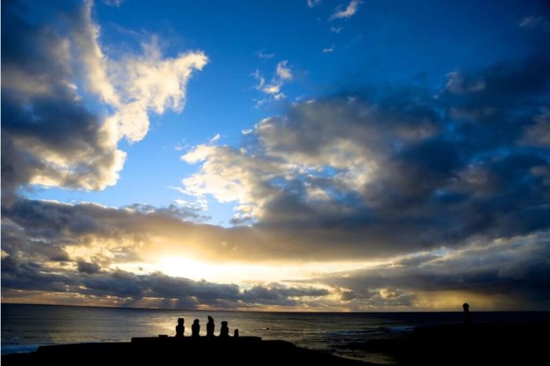
The zone’s lowlands, which include the north and northeastern coasts, host many archaeological vestiges, most of which remain intact and have therefore been vital clues in understanding the island’s mysterious past.
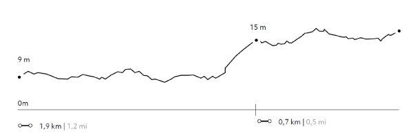
Elevation Profile
- Elevation Gain
-
34 m 112 ft
- Elevation Loss
-
-17 m -55 ft
- Max. Altitude
-
26 m 85 ft
- Min. Altitude
-
4 m 13 ft
Discover Our Explorations
Endless revelations and possibilities await