Easter Island
Easter Island, Chile
Miru
The highest point
-

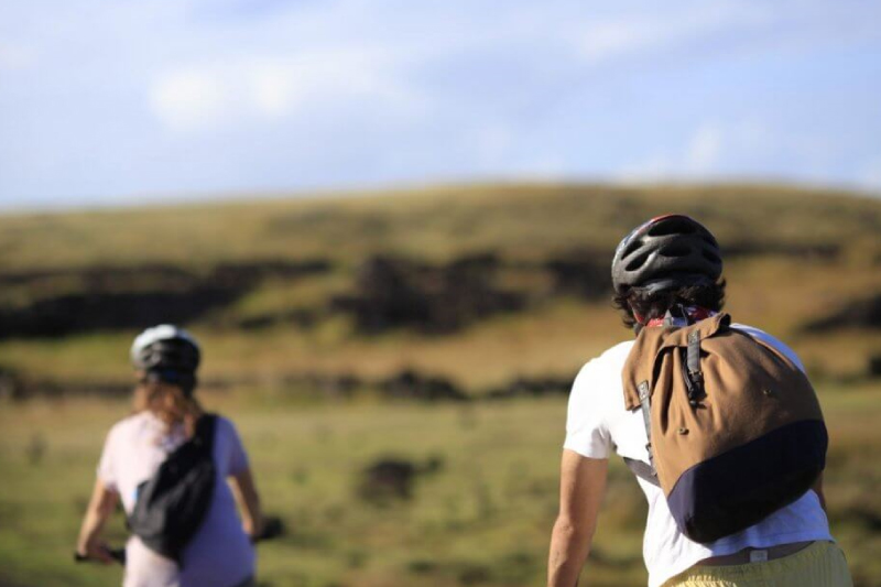
- Hike
-
- Moderate
-
- 10,5 km / 6.5 mi
- Half-day
- 3 h 30 m


Exploration Path
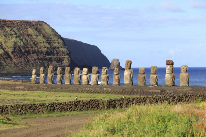
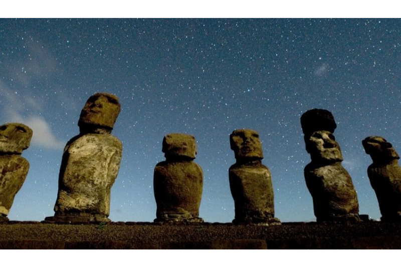
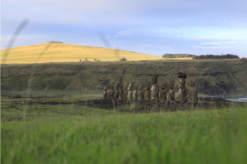
We begin our hike at the foothill of the Terevaka Volcano, going up a narrow creek and passing between archaeological vestiges until we reach the volcano’s summit, the highest point in the Island with 360° views to the horizon. When descending, we hike towards Ahu Akivi, the 7 moai facing the sea.
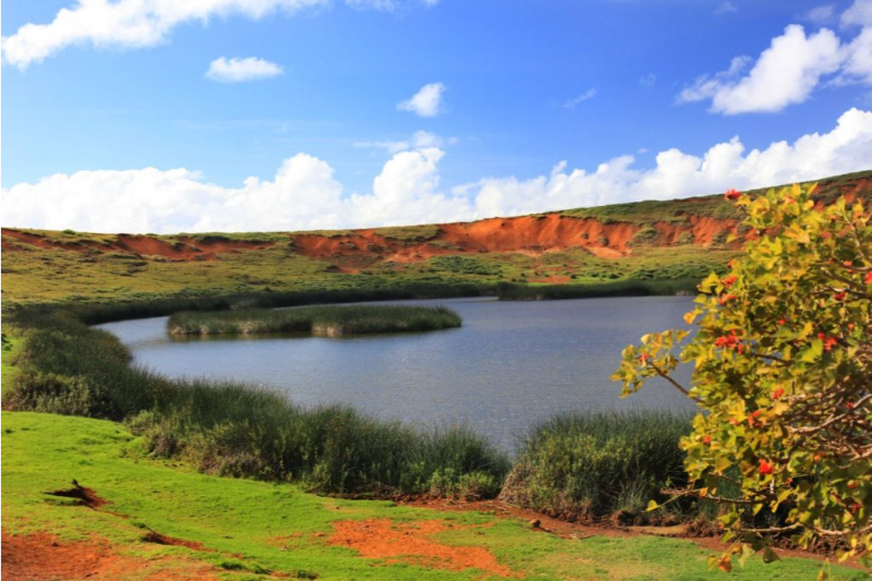
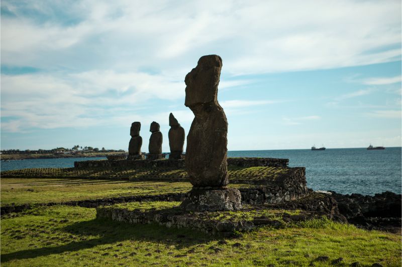
The zone’s lowlands, which include the north and northeastern coasts, host many archaeological vestiges, most of which remain intact and have therefore been vital clues in understanding the island’s mysterious past.
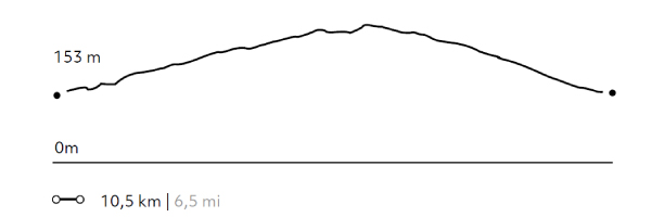
Elevation Profile
- Elevation Gain
-
375 m 1230 ft
- Elevation Loss
-
-389 m -1276 ft
- Max. Altitude
-
500 m 1640 ft
- Min. Altitude
-
138 m 453 ft
Discover Our Explorations
Endless revelations and possibilities await