Easter Island
Easter Island, Chile
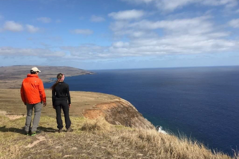
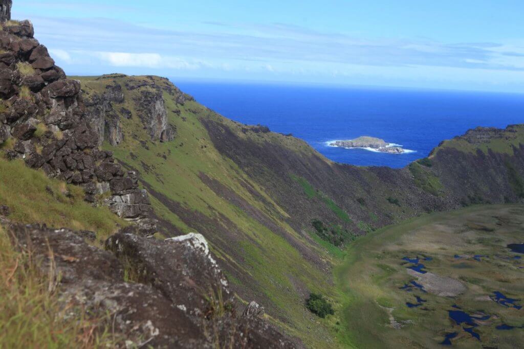
Poike
La Peninsula
-

- Bike
-
- Advanced
-
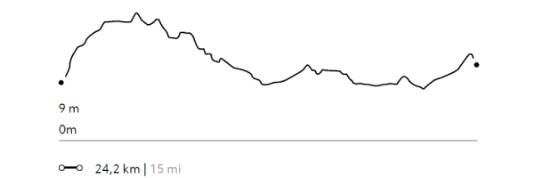
- 24,2 km / 15 mi
- Half-day
- 4 h


Exploration Path
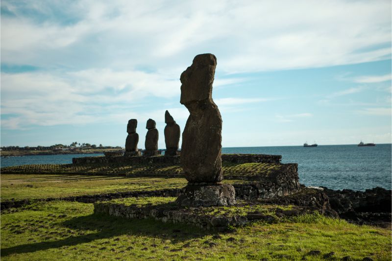
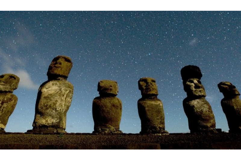
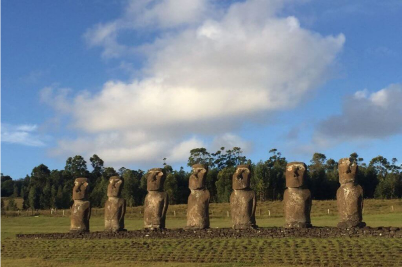
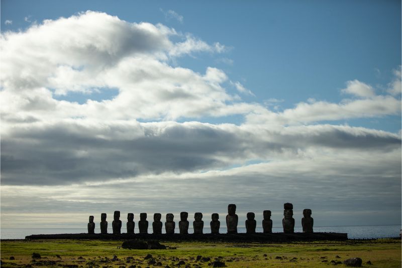
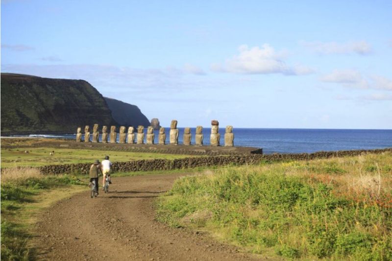
We leave by van towards Mahatua, an ancient Rapa Nui settlement. Then we bike ride to the Tea Tea Mountain, in the Poike peninsula. We then follow along the south coastline cliffs and reach Ahu Tongariki, the Island’s largest platform from where we return taking byways.
The Poike zone, named after the oldest volcano on the island, offers some of its most unusual sceneries, with harsh conditions evidencing how the Rapa Nui is eroded by sea and water, one of the its people’s most pressing ecological predicaments.
Elevation Profile
- Elevation Gain
-
562 m 1844 ft
- Elevation Loss
-
-476 m -1562 ft
- Max. Altitude
-
228 m 748 ft
- Min. Altitude
-
1 m 3 ft
Discover Our Explorations
Endless revelations and possibilities await