Atacama
Desert & Altiplano, Chile
Quebradas Intermedias
Wanaku
-

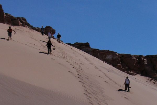
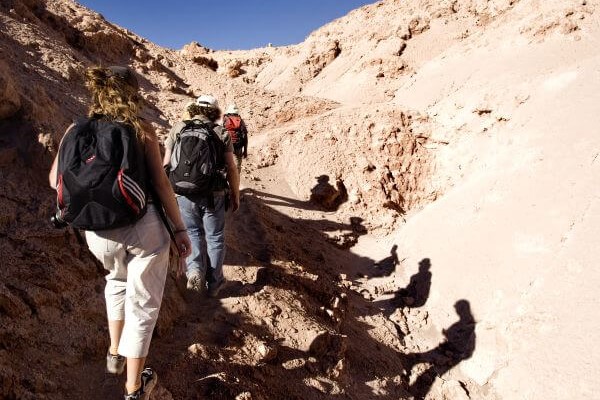
- Hike
-
- Moderate
-
- 10 km / 6.2 mi
- Full-day
- 6 h


Exploration Path
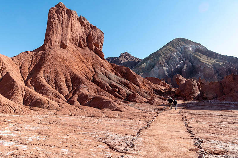
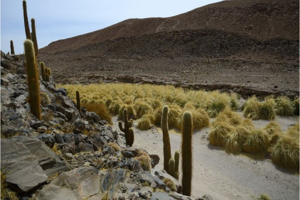
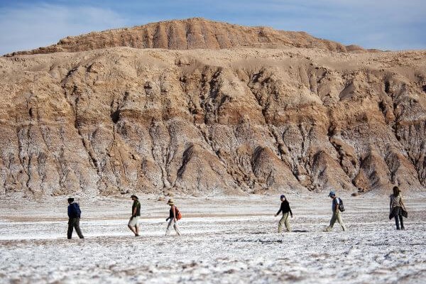
We take a van to the Domeyko Mountain Range, where we walk through trails that were formerly used as transit and bartering routes and where we can still see remains of the Atacameño culture. We continue to the Rainbow Valley, a place with huge multicolored walls that explain the geological shaping of the Atacama region.
As if sliced off from the desert’s mantle, the ravines in this zone were created over millions of years by the forces of water and wind. Plunging into the abyss, they are sculptures that only time could shape.
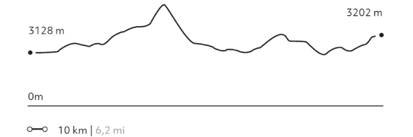
Elevation Profile
- Elevation Gain
-
410 m 1345 ft
- Elevation Loss
-
-336 m -1102 ft
- Max. Altitude
-
3.292 m 10.798 ft
- Min. Altitude
-
3.198 m 10.489 ft
Discover Our Explorations
Endless revelations and possibilities await