Atacama
Desert & Altiplano, Chile
Montaña
Licancabur
-
- Expedition
-
- Expert
-
- 8 km / 4.9 mi
- Full-day
- 11 h 30 m
- Acclimatization required
Exploration Path
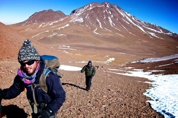
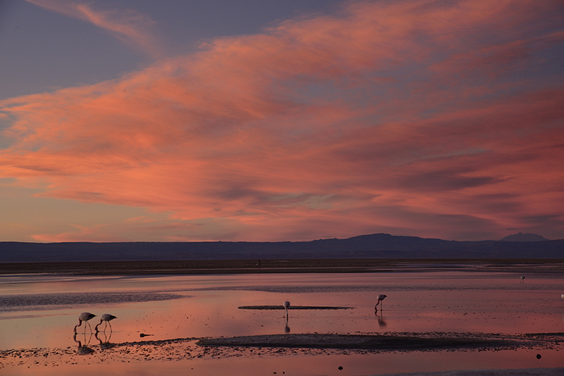
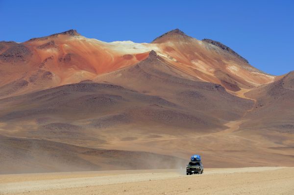
After having conducted several explorations at more than 4,000 m.a.s.l. (13,123 f.a.s.l) and gradually acclimatizing our body, we leave by van from explora to a remote camp in Bolivia on the sixth day. Once settled in the camp, we take a walk across the areas of the Verde and Blanca lagoons, from where we have a good view of the Licancabur Volcano. The next day we wake up early to begin walking before dawn. We use headlamps to light a well-marked trail. Halfway along the ascent we watch the dawn over the Blanca and Verde lagoons. We reach the summit after walking for several hours. From here, we have a view to the crater and the world’s highest lagoon. Descent can be challenging due to steep slopes and unstable terrain. We cross oldInca ruins on the way back.
These colossal massifs not only hoard minerals, but also encompass cultural expressions of people past and present. Axes of mystery, Atacama’s mountains frame its territory, remaining vigilant of all whom explore it.
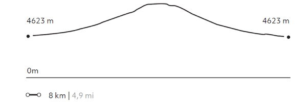
Elevation Profile
- Elevation Gain
-
1298 m 4257 ft
- Elevation Loss
-
-1295 m -4248 ft
- Max. Altitude
-
5.916 m 19.404 ft
- Min. Altitude
-
4.623 m 15.163 ft
Discover Our Explorations
Endless revelations and possibilities await
