Atacama
Desert & Altiplano, Chile
Cuenca del salar
Kamur
-

- Hike
-
- Moderate
-
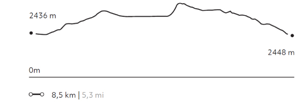
- 8,5 km / 5.3 mi
- Half-day
- 3 h 30 m


Exploration Path
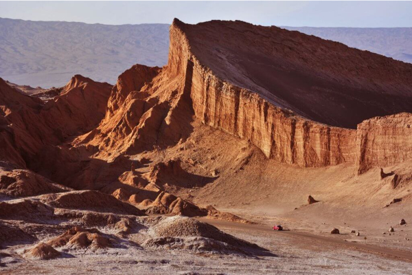
We take a van to the Moon Valley to appreciate the different landscapes of the Salt Mountain Range, where erosion by water and wind has originated dunes and unique geological formations that can only be seen here. This hike, from west to east, goes through a path that is not frequently used.
*Temporarily unavailable. Consult other exploration options with your Explora guide at the destination.
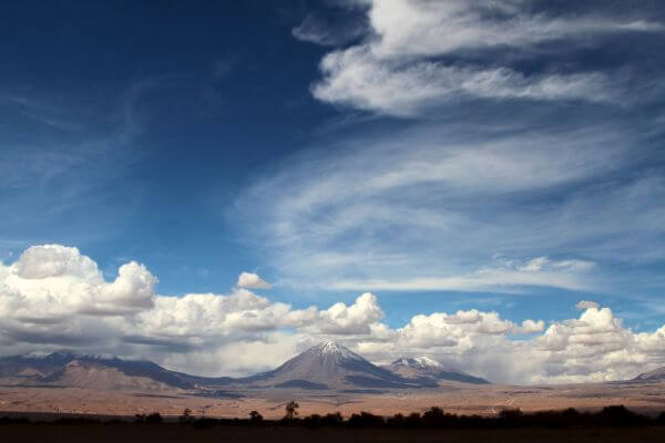
Geometric and seemingly infinite, the Atacama salt flat abruptly interrupts the desert’s chromatic continuum.
Elevation Profile
- Elevation Gain
-
197 m 646 ft
- Elevation Loss
-
-185 m -607 ft
- Max. Altitude
-
2.564 m 8.410 ft
- Min. Altitude
-
2.432 m 7.977 ft
Discover Our Explorations
Endless revelations and possibilities await