Atacama
Desert & Altiplano, Chile
Quebradas Intermedias
Arcoiris
-

- Bike
-
- Moderate
-
- 15,1 km / 9.4 mi
- Half-day
- 2h 45 m


Exploration Path
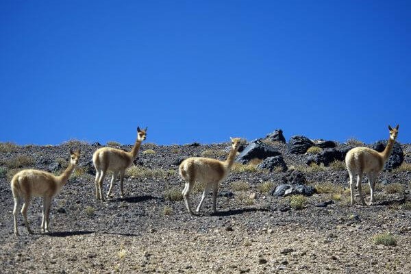
We take a van to the Domeyko Mountain Range (one hour travel), where we will pedal through a path to the valley creek between multicolored walls. Guanacos, other typical fauna and the varied flora of the area can be seen during this exploration. We return by van.
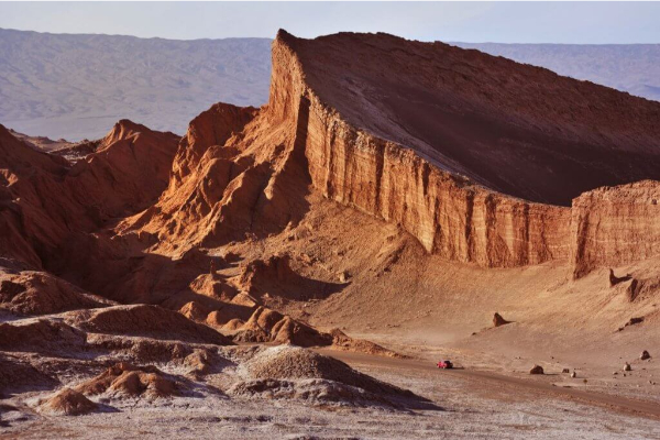
As if sliced off from the desert’s mantle, the ravines in this zone were created over millions of years by the forces of water and wind. Plunging into the abyss, they are sculptures that only time could shape.
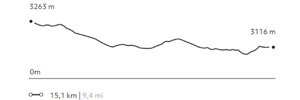
Elevation Profile
- Elevation Gain
-
249 m 816,7 ft
- Elevation Loss
-
-396 m -1299 ft
- Max. Altitude
-
3.269 m 10.722 ft
- Min. Altitude
-
3.067 m 10.060 ft
Discover Our Explorations
Endless revelations and possibilities await